Back To Index
PITLURG
TO ACHMACOY
(Update
April 2015)
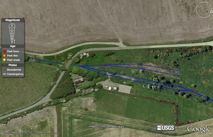
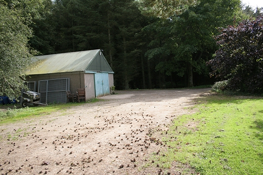
Pitlurg Station Layout. From Google.

Pitlurg Station Layout. (NLS Maps)
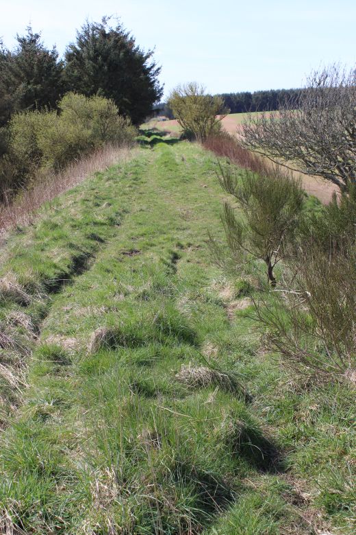
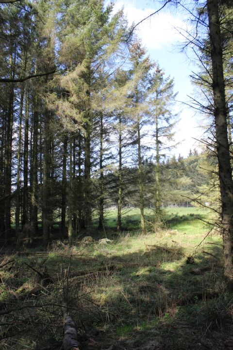
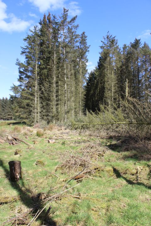
Update 20th April 2015. A record of my
walk between Pitlurg and Auchmacoy when I managed to walk over
the actual track bed in fine weather.
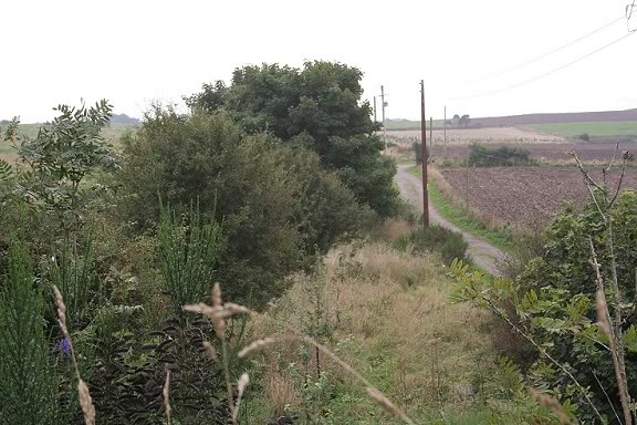
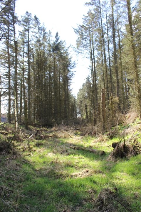
After my enjoyable visit to the pitlurgstation site the day
beforehand as the weather remained fine I decided to give
walking the trak bed from
Pitlurg
to Tattershall a go. I caught the bus from Aberdeen to the bus
stop at Bogbrae for the road junction for the old station
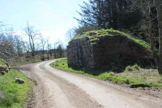
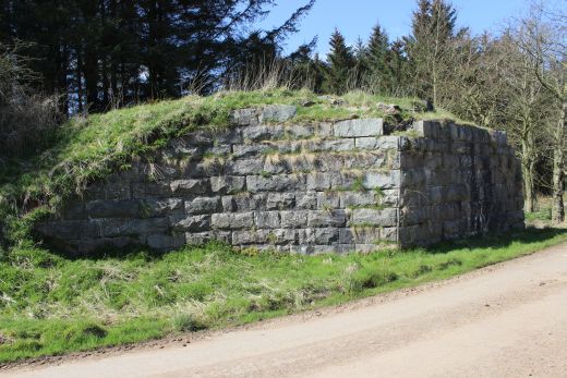
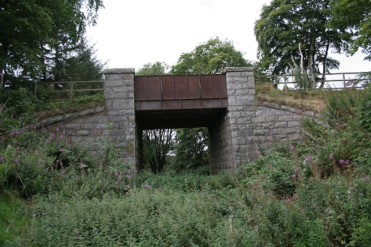
site. as it leaves the
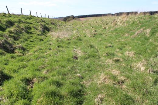
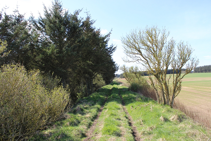
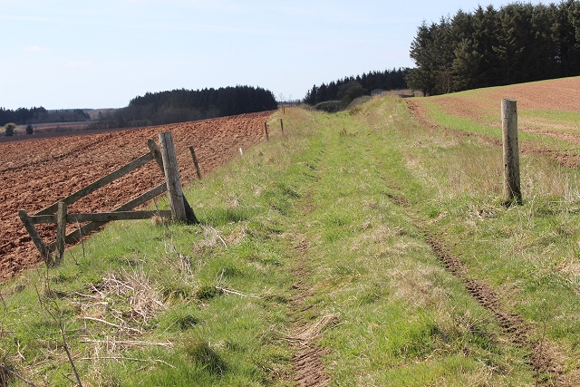
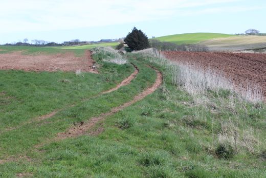
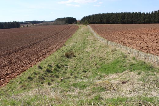
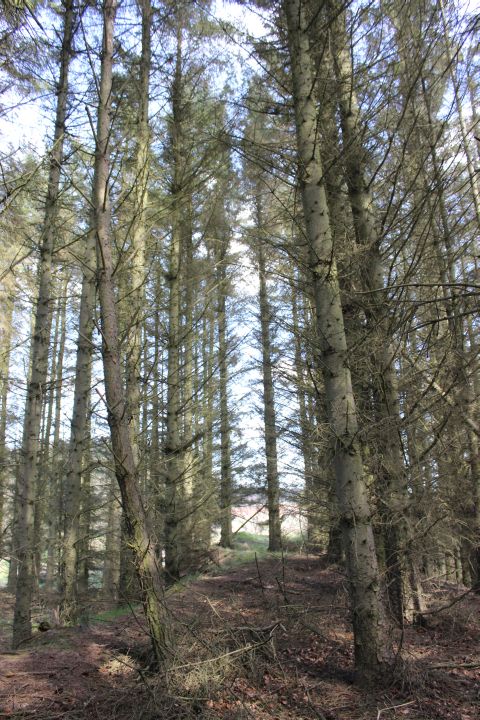
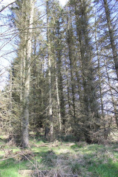
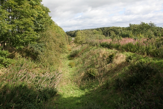
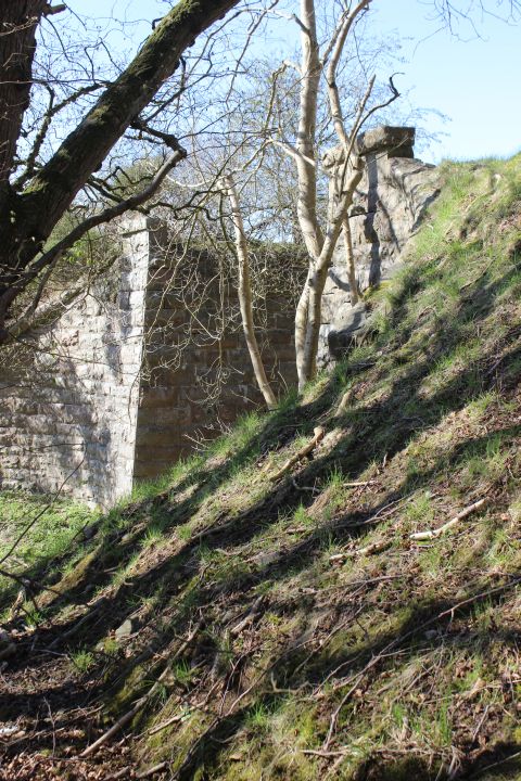
short cutting and then over the high
embankment down to the road junction at Tassatshill is still
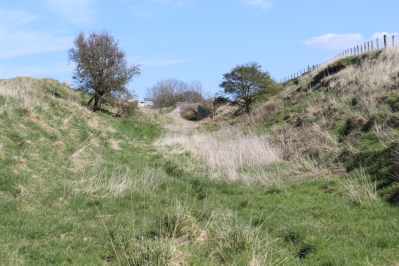
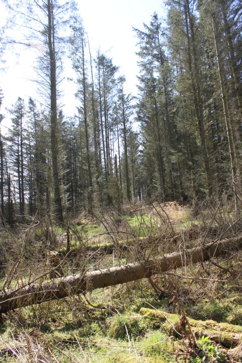
easily made out. The ground in the cutting
immediately by the railwaybridge is still very boggie, even
after three days without rain. I had to keep to the higher side
of the cutting until
meeting dryer ground nearer to the start of the
embankment. In wet conditions the cutting would be unwalkable
without wearing Wellingtons.
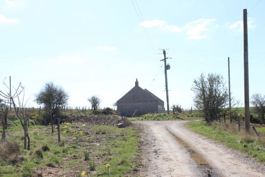
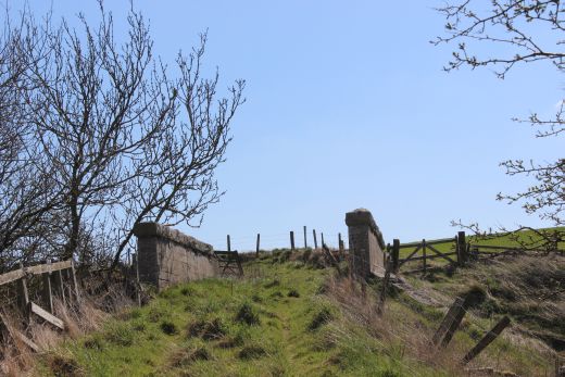
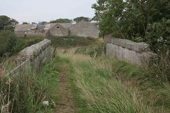
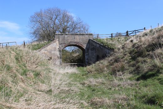
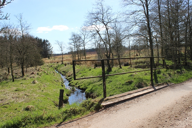
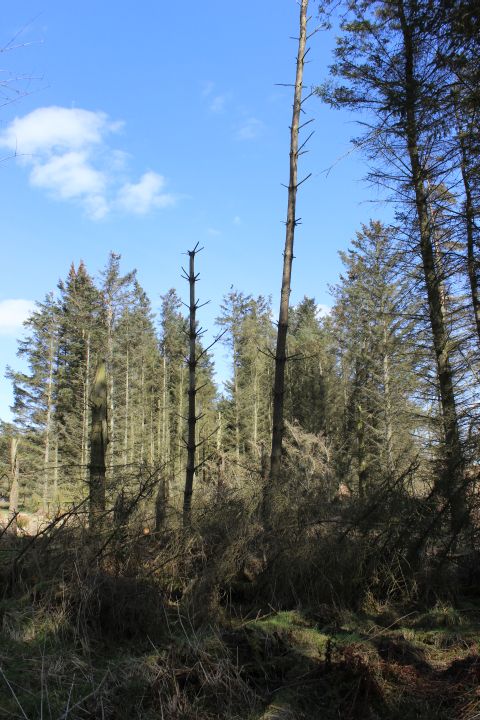
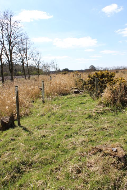
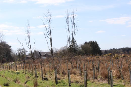
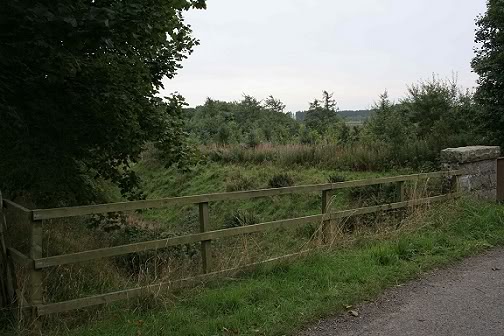
Looking
south from the site of the Ex over bridge at the south end of
Pitlurg station site. The way is blocked by the building up
ahead and then fenced off where a
number of trees have been planted on the track bed. To get back
onto the track bed you follow the road to the right down to the
Farm where on the west side you
come to an an over bridge where you can get back onto the track
bed. (19th April 2015).
Left
The filled-in south side of the old station over bridge. The Down
controling signals would have been here. The points into the
goods siding and Down station platform would have been seen from here.
Right: Same view from further southwards along the farm track bed. The
Daffodills stand on the track bed.
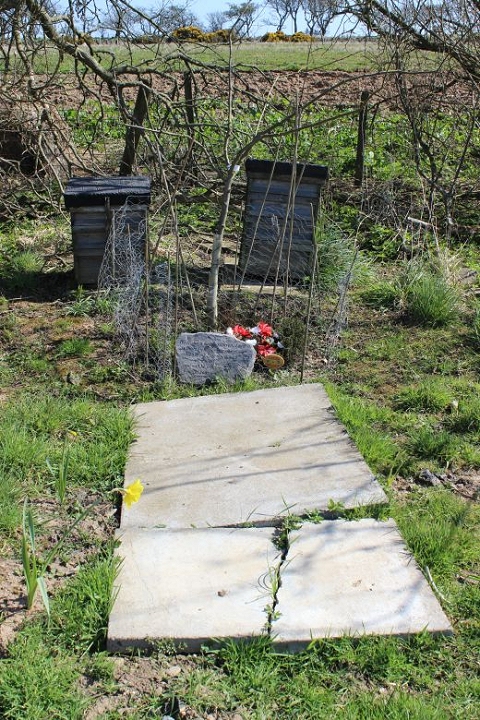
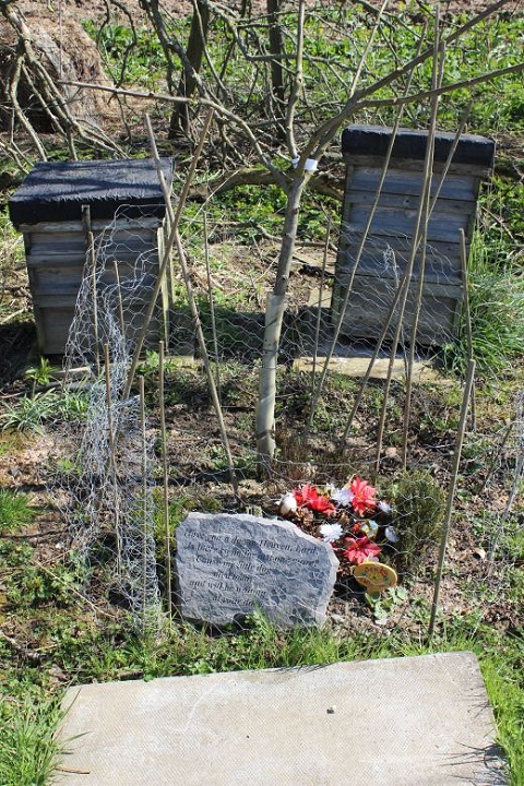
ing
scene. Someone's pet Dog had recently died and has been buried on the
old track bed.
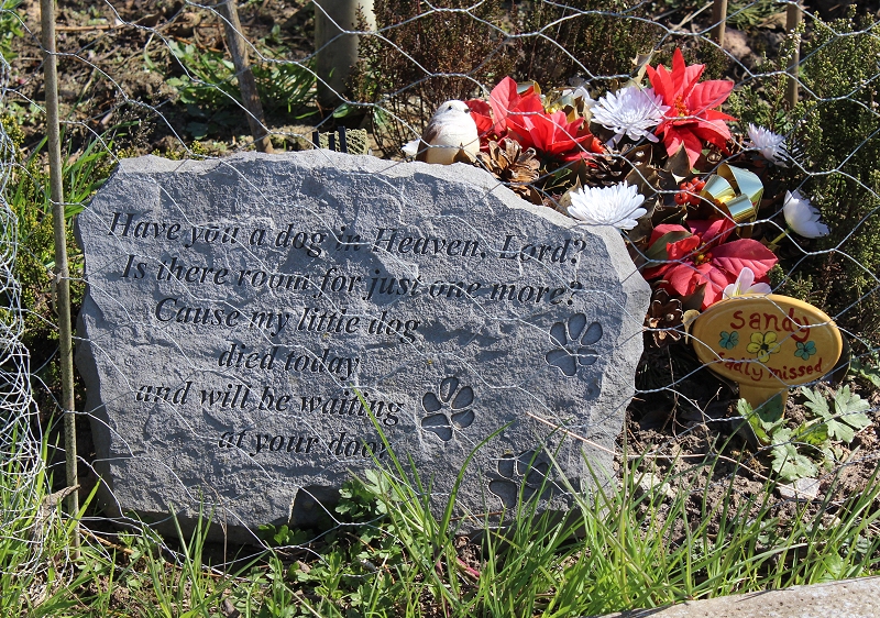
A
lovely dedication to 'Sandy' a much loved family pet.
September 2008 Photos
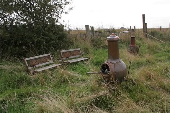
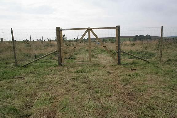
Looking south from the same spot. The line ran straight
ahead and is fenced off at this
point.
Right: On the trackbed is a couple of barbaque
fires and seats.
Left: A closer view looking through the gate
built on the centre of the
trackbed.
Right: Pointing the camera through
the wire of the gate with the line running straight ahead. Someone is
camping on.
the
site, which suggests, along with the barbaque
equipment and seats that this is a regular camping spot.
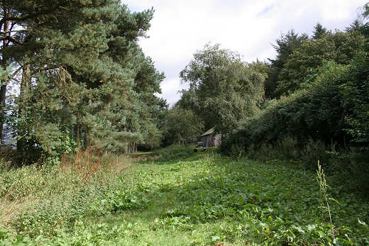
April 2015 Photos
Left:
An uncompleted building stands at his spot where the Barbaque fires
and seats stood in 2008.The building is a failed attempt to build
a Winery along this section of the track bed.
Right: To get back onto the track bed you have to take the path to the
right and walk down to the Farm and then through the farm buildings
until you come to the railway over bridge.
The
view of the track bed from the road to the over bridge by the farm.
Left:
A you approach the over bridge you can see the track bed curve back
towards Pitlurg, the uncompleted building on the far left. Right:
the rough farm track up to the over bridge.
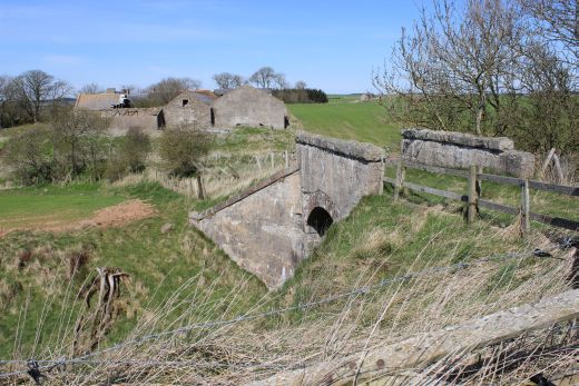
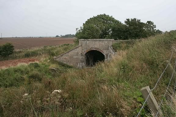
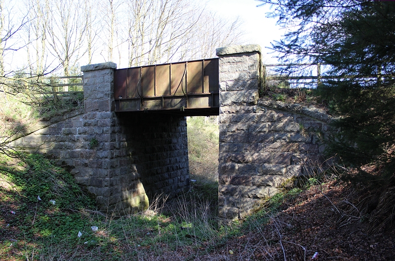
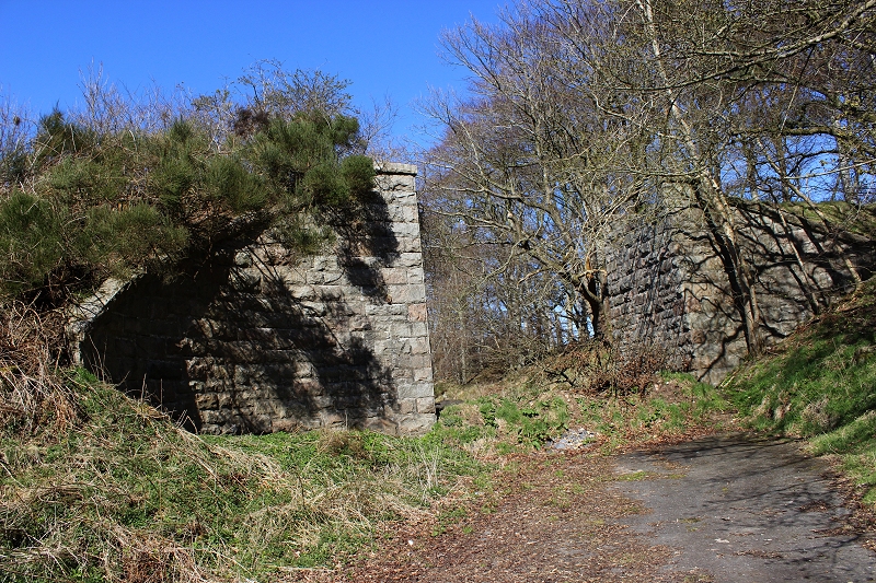
Right: The still complete over bridge by the old Farm.
Left:
View towards Pitlurg station site from the over
bridge.
Right:
View looking south towards Auchmacoy from the over bridge.
Left:
Wide view from the over bridge, looking southwards.
Right: The old farm buildings seen from the railway bridge.(Sept.
2008).
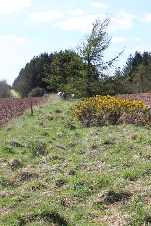
In older maps this way was shown as a
through path to the main road.
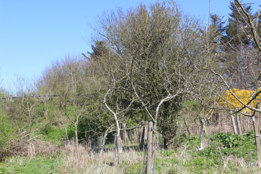
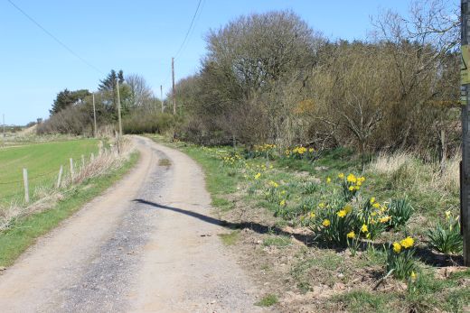
Left:
The footpath continues through a field back up to the
Pitlurg-Auchmacoy road via Leask but is only passable when not
ploughed over as it was the last time I visited here.
Right: View from the eastern side of the over bridge back to the farm.
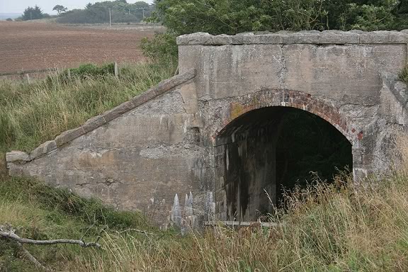
A wider view making the scene look more
railway like. Right: I would have
liked to have got down onto the track bed and photographed the bridge at
that level but not only that there was no safe way down the bank but it
was just too wet and over grown after the heavy
rain of the day before. (Sept. 2008).
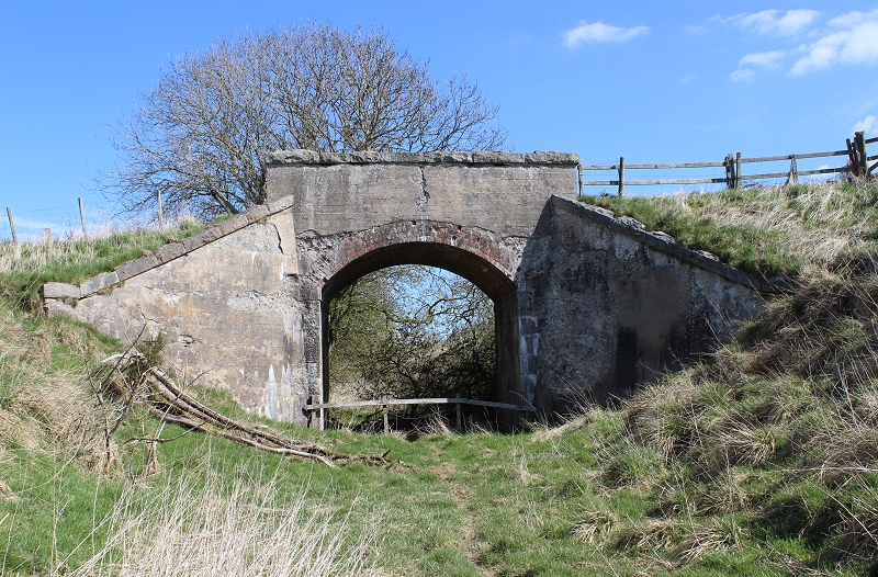
Thankfully,
it was a lot dryer on my 20th of April 2015 visit. The farm
footpath bridge from the south side and at track bed level. The way
is blocked between
here and Pitlurg station site. Beware, the ground is very bogie at
this point.
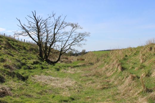
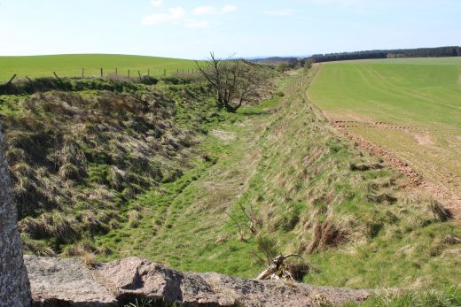
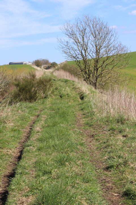
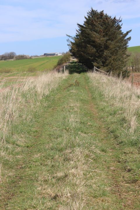
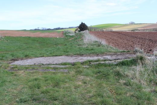
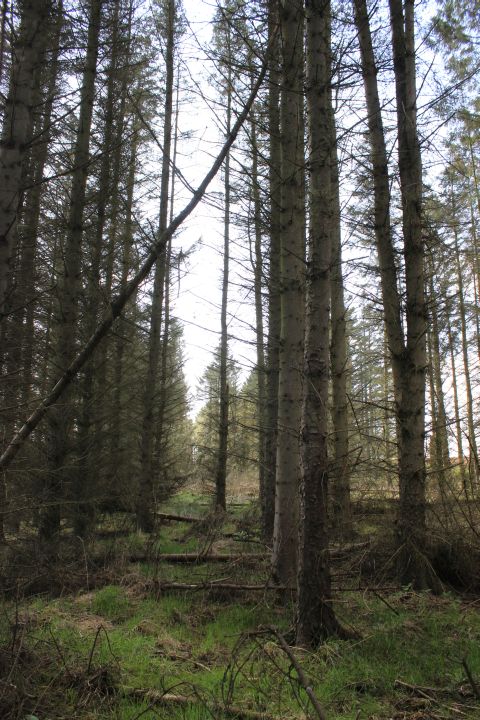
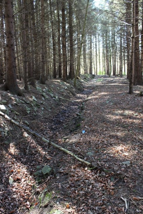
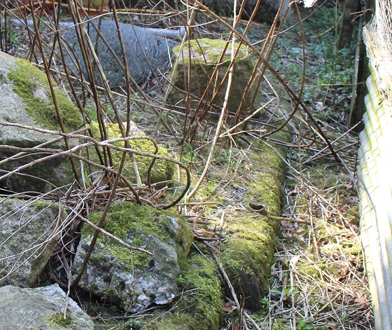
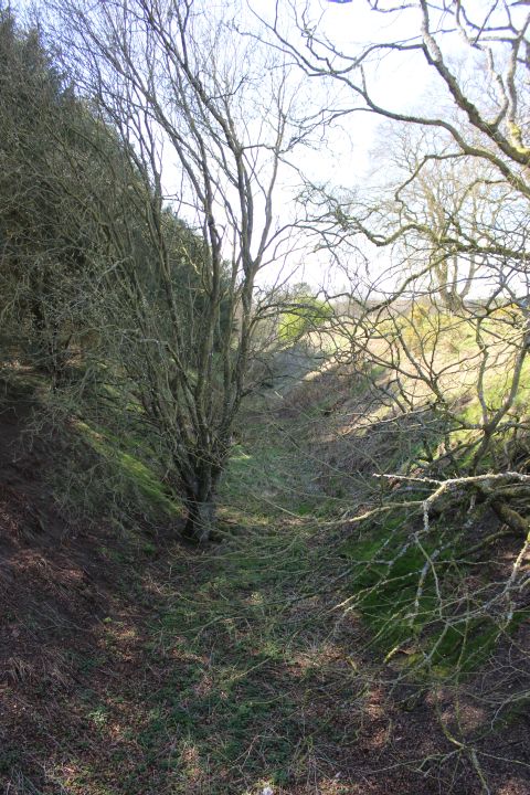
This
spot at the center of the Cutting is extremely muddy, in spite of
three days without rain I had to walk higher up the side of the
embankment for a short distance to keep my feet dry until reaching
the end of the cutting.
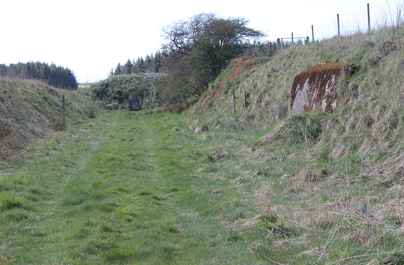
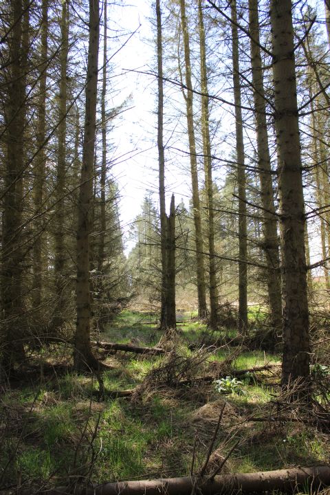
Not
sure if this is an old sleeper or something a farmer may have put
there over the years! It's at the top
of the cutting. Behind is the path I took through the farm to reach
the over bridge from Pitlurg.
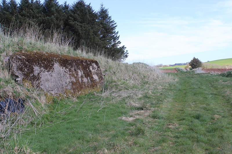
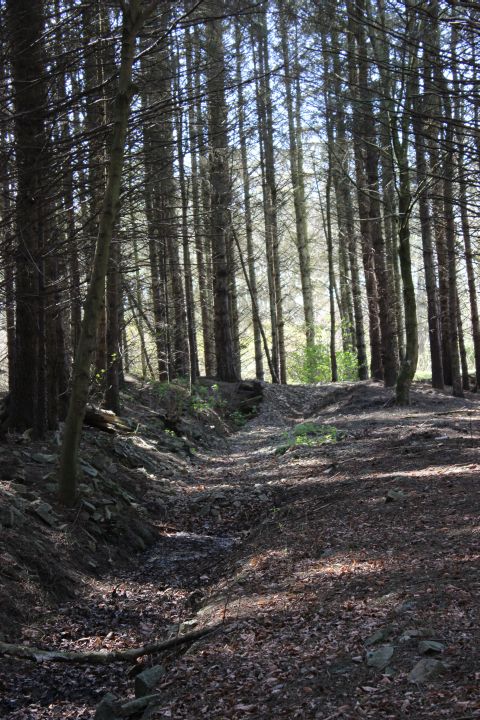
This
was as far as I had to walk along the edge of the cutting before
finding reasonably dry ground on the track bed.
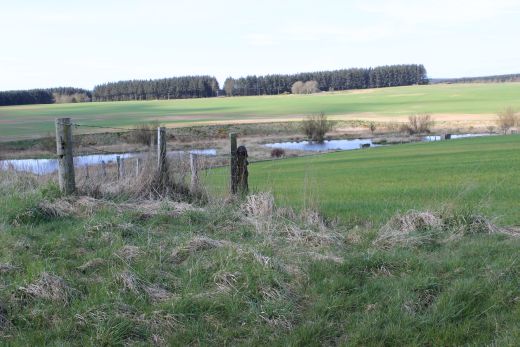
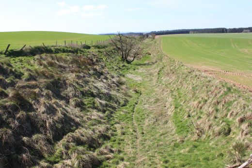
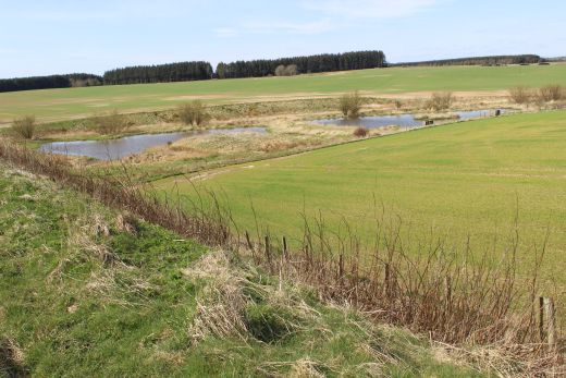
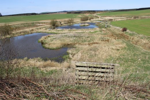
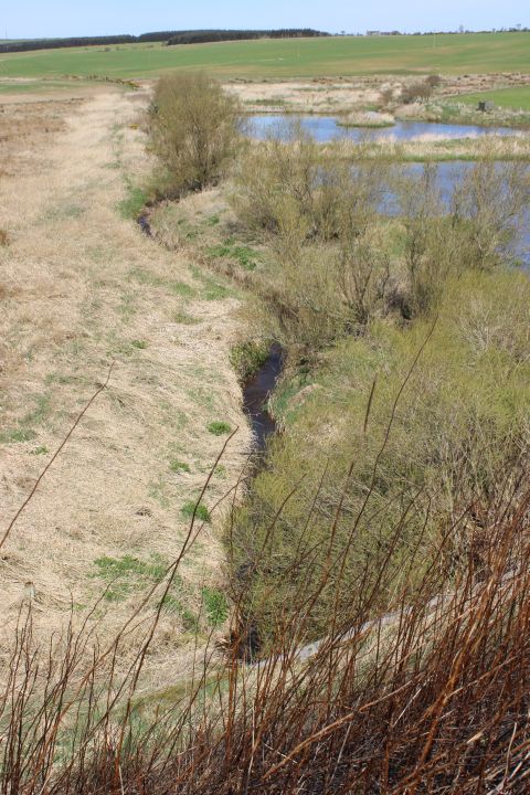
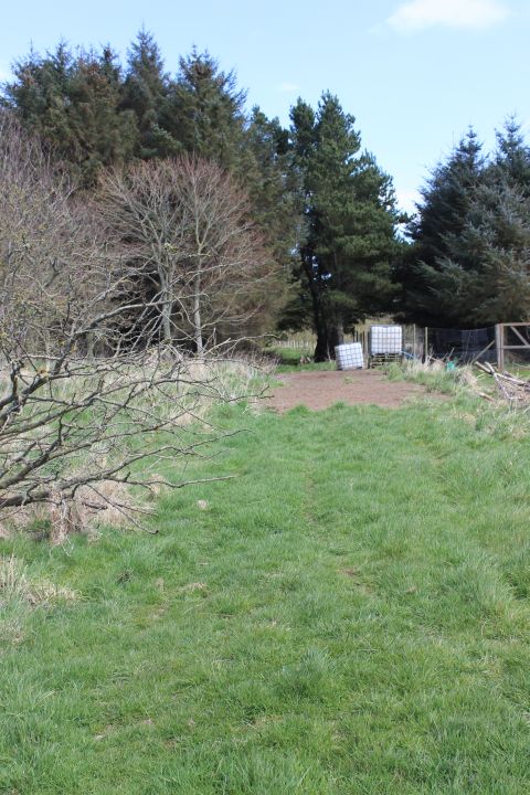
Approaching
where the Forvie Burn runs below in a culvert. On the north eastern
side fishing lakes have been formed. This was approx. the spot
where the Down Distant signal for Pitlurg stood.
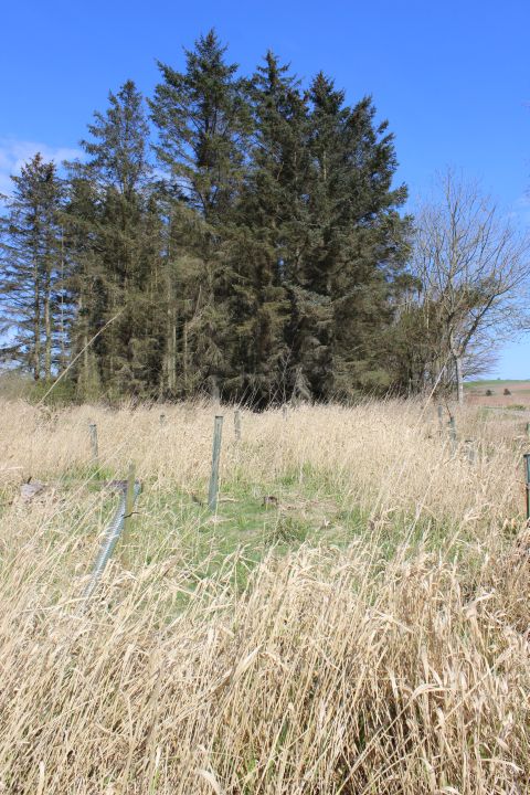
Not
sure if these are genuine railway gates or not! However, it indicates
where the Down Distance
signal is shown on the map by a farm crossing.
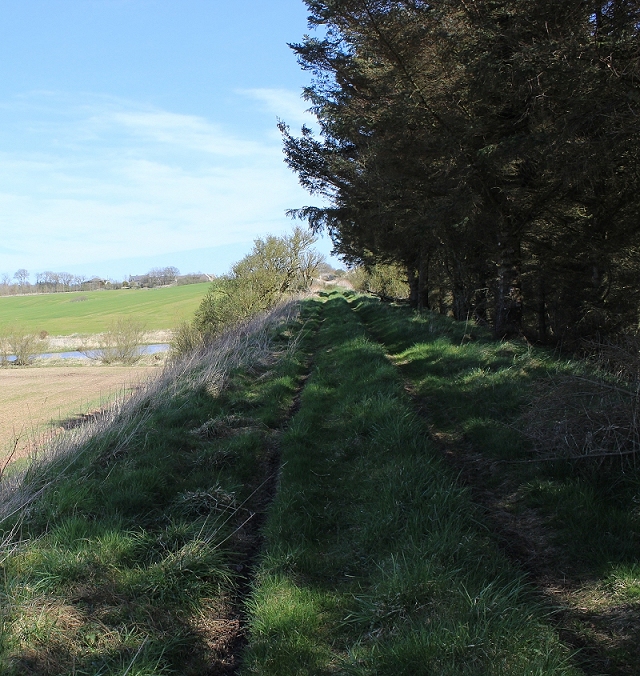
Left:
Fom the railway embankment with the man-made fishing lakes on the
north side of the track
bed.
Right: The western side of the track bed where the Forvie
Burn runs below the embankment.
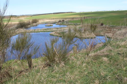
Views
of the lakes from the railway embankment.
Left:
View southwards towards
Auchmacoy.
Right: View northwards towards Pitlurg.
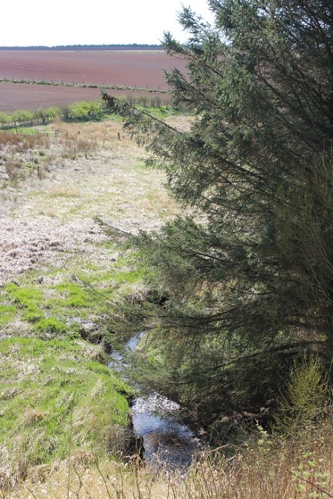
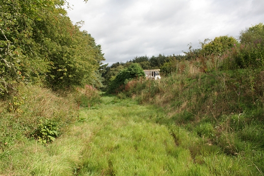
The
Forvie Burn where it runs under the track bed in a culvert. Left: West
side, towards Auchmacoy. Right: East side,
towards Auchmacoy. You can see the track below that has been built to
reach the Lakes that comes off the track bed.
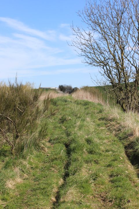
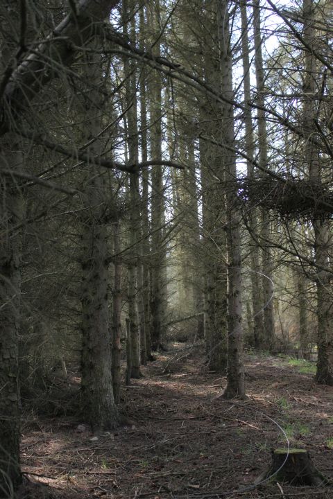
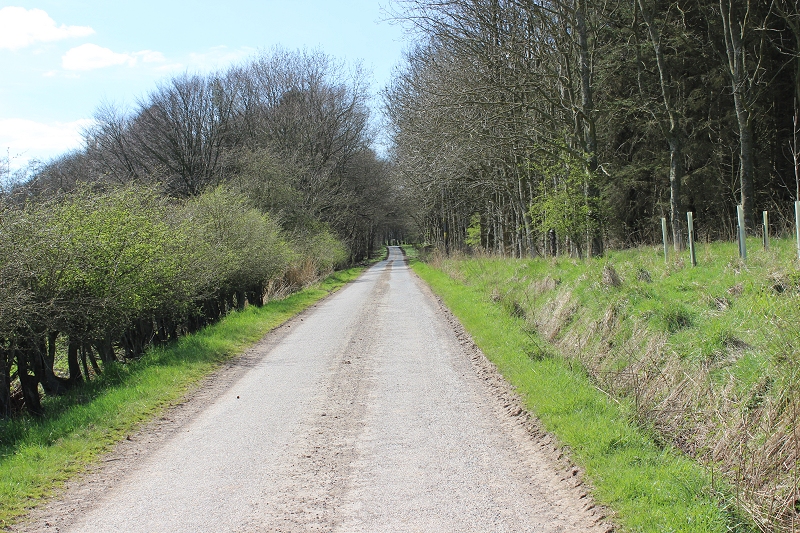
The
grooves on the track bed have been formed over years by locals driving
to and from the Fishing lakes. Towards Auchmacoy.
Looking back
towards Pitlurg.
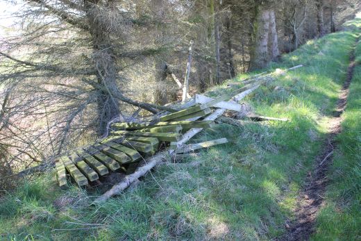
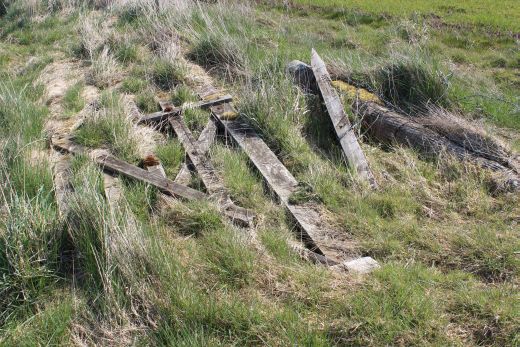
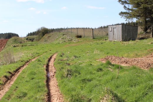
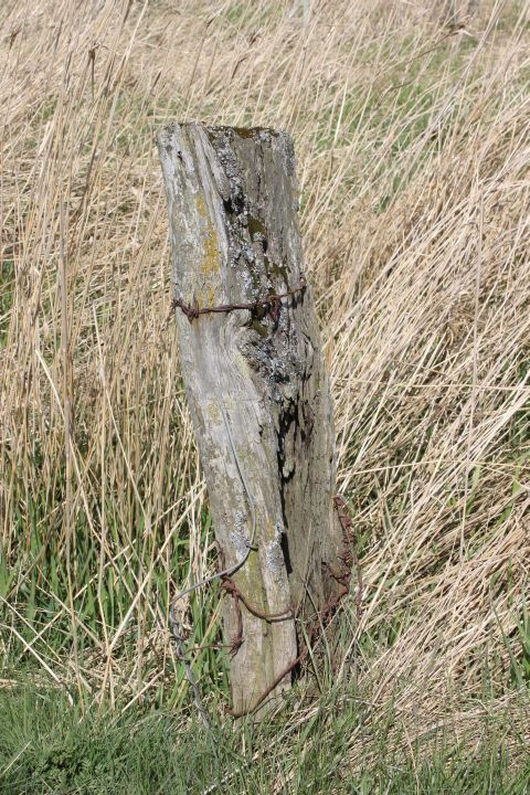
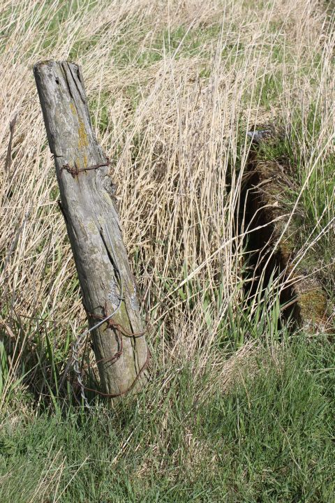
More fencing lying about. Not sure
if these are original or not.
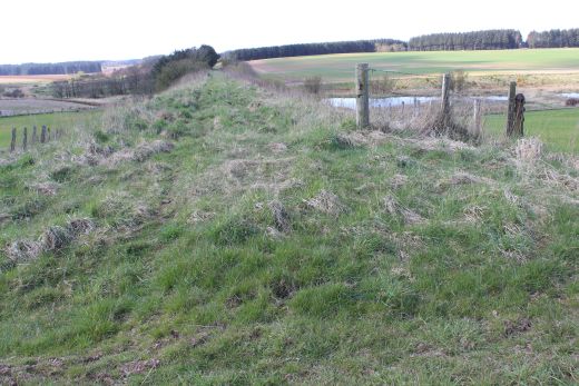
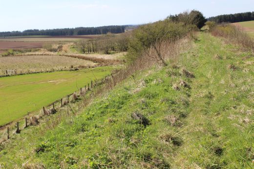
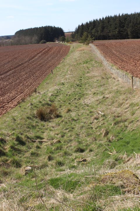
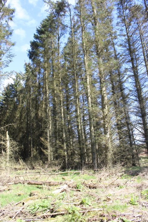
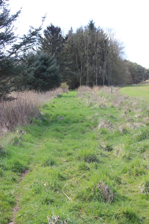
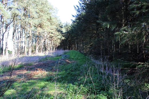
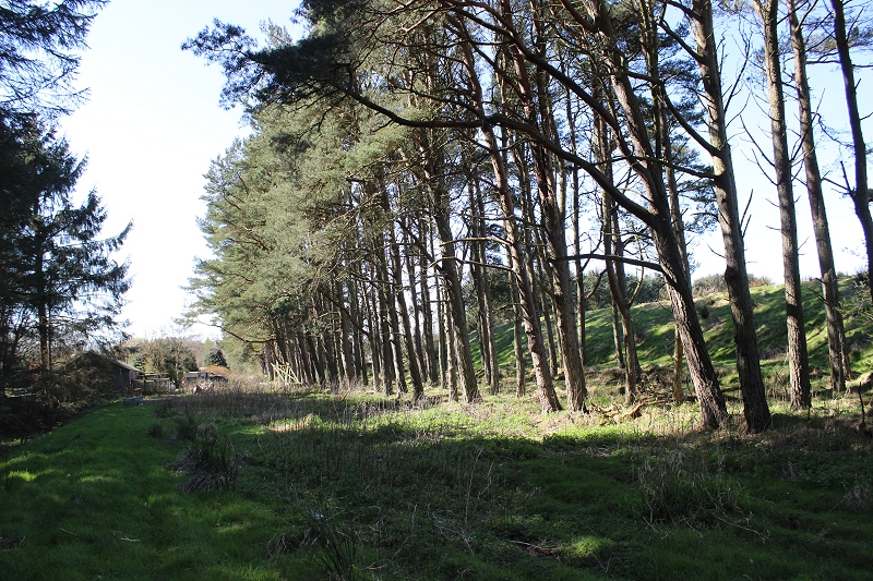
Halfway down
the track bed and looking back up the incline towards Pitlurg. The
height of the embankment and the rising gradiant
is noticeable. This would have been a stiff climb from Auchmacoy to
summit at Pitlurg station.
Site of another
farm crossing.
Ditto.
Looking northwards.
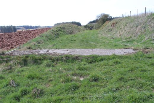
Left:
The grooves made by the Fishing folk coming and going
from Tassatshill to the
lakes.
Right: a concrete path has been laid for farm equipment too get too
and from Tassatshill to the fields.
Ditto.
Opposite direction.
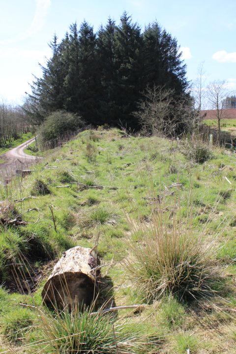
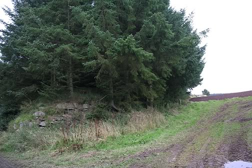
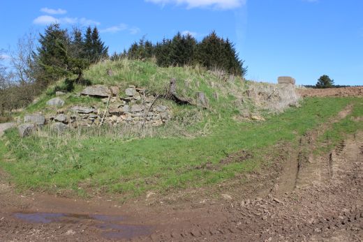
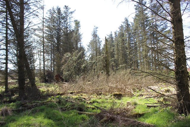
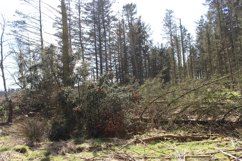
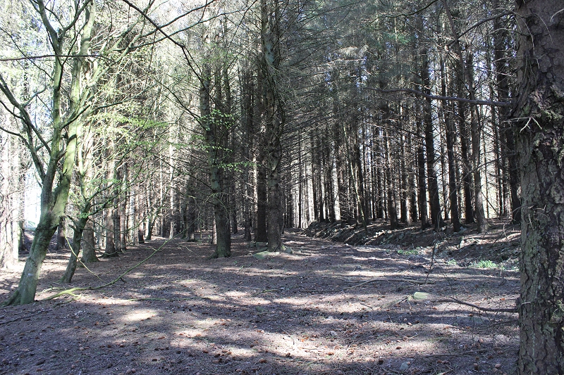
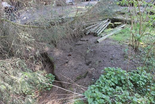
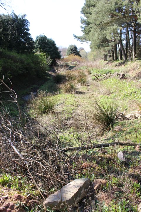
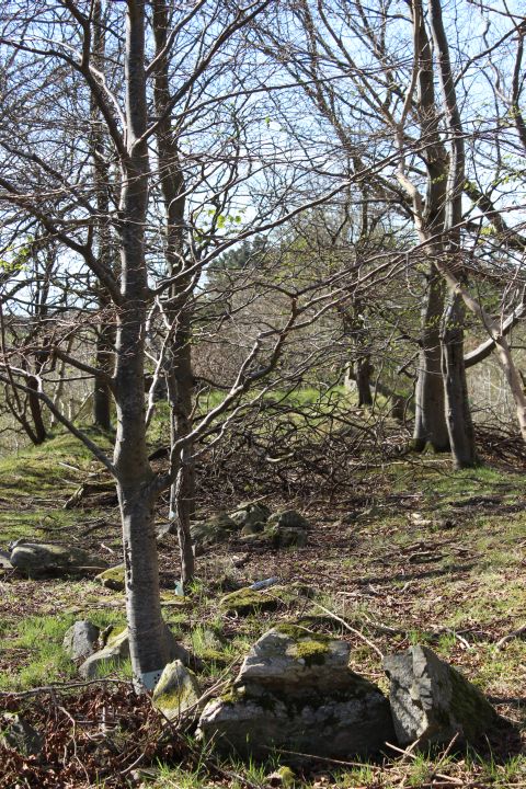
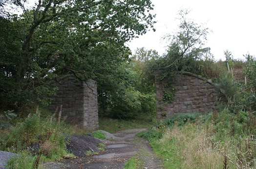
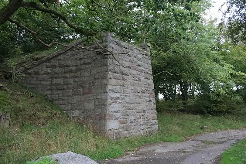
The
track bed is blocked off by a back-fill.
Interesting
stone or concrete wall bracing the railway parameter.
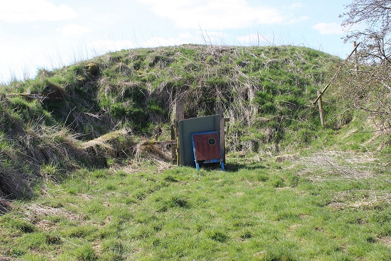
The
reason for the back-fill. Obviously used by an archery group. However,
it is easy to get up and over the hump by using the fence on the right
as a bannester.
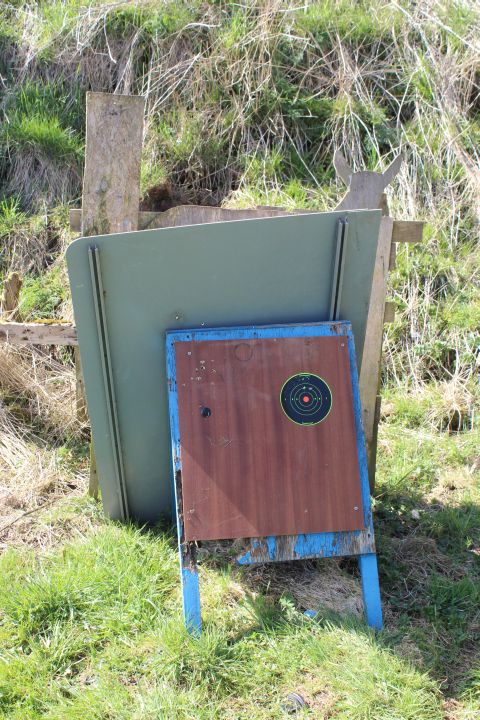
Archery
target.
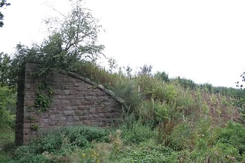
From
the top of the mound. Left: Looking south towards the Ex over bridge
at the Tassatshill-Achmacoy road junction. Right: Looking northwards
over the archery target.
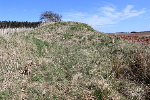
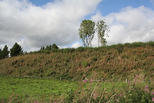
Left:
From the top of the heap. Looking
southwards.
Right: The south end of the back-fill heap. Looking northwards.
Left:
Looking back towards
Pitlurg.
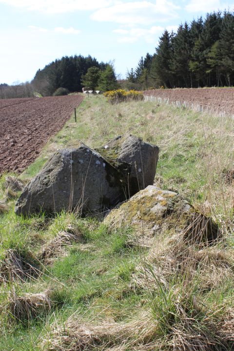
Right: Southwards to the Ex Tassatshill bridge. Boulders in the way.
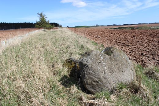
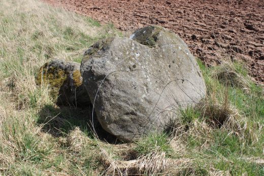
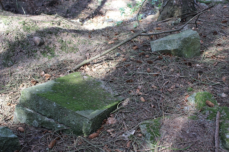
Large
Boulders placed on track bed. Would have taken some doing to lift
these from the field! (looking northward.)
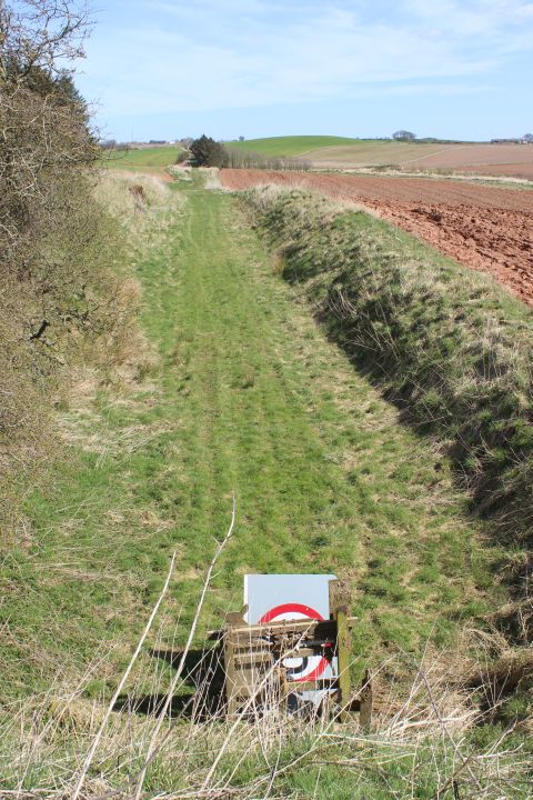
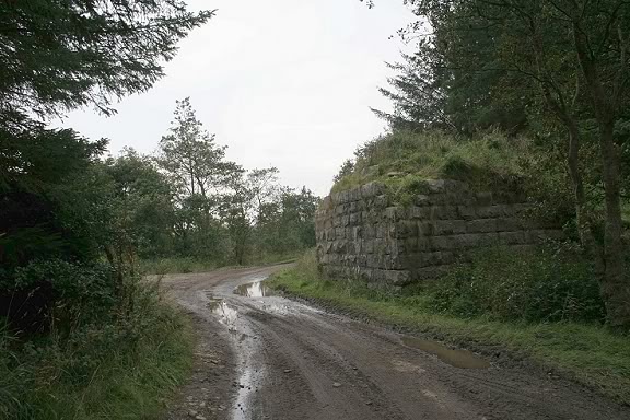
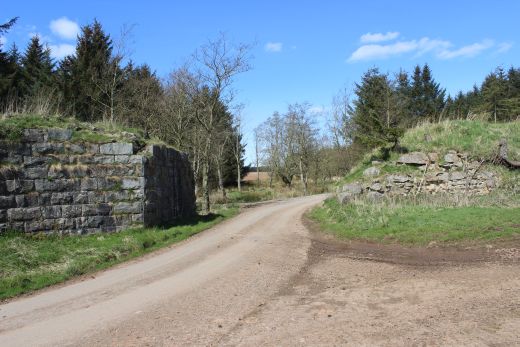
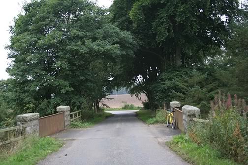
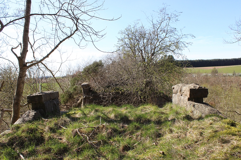
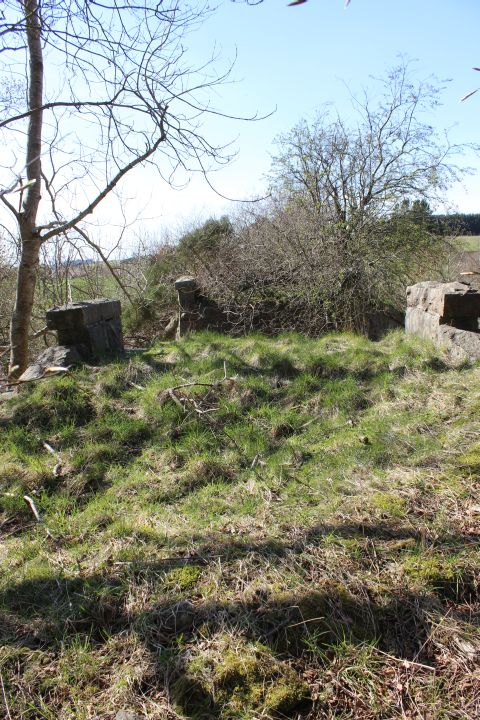
The
final yards to the end of the track bed at Tassatshill by the remains
of the Ex Road bridge.
You can see the road continuing towards Auchmacoy and the heavily
forested length
where the track bed is hidden.
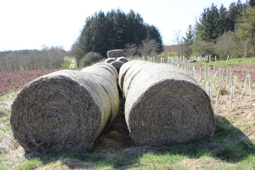
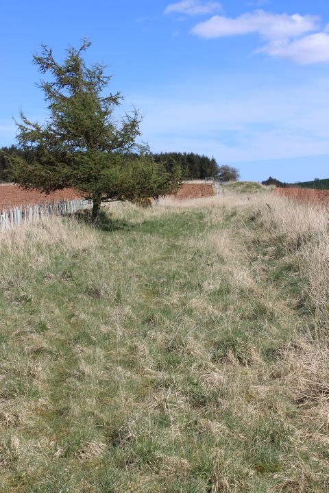
Left:
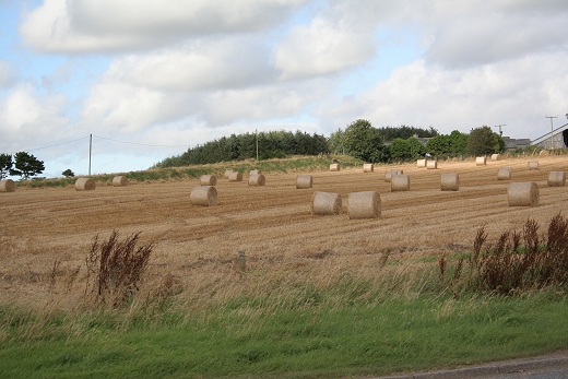
Final look back towards Pitlurg. Right: Straw Bales on the track bed
prior to the site of the demolished over bridge. Towards Auchmacoy.
From here the track bed is hidden within a forest of trees up to
Auchmacoy station site.
Approaching
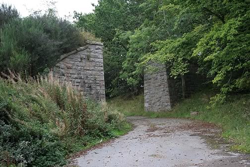
the demolished over bridge at the Tassatshill-Auchmacoy road junction.
Looking north with the track bed running on an
embankment and into a deep cutting as it approaches the site of the
stone railway bridge by the farm buildings up at Pitlurg.
(Both photos from Sept. 2008)

The track bed prior to the ex over bridge. Towards Pitlurg.
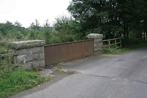
Left: The north abutment
remains. Looking towards Pitlurg. Right: The road bridge. This
side road links the village road to the A90 half a mile or so ahead.
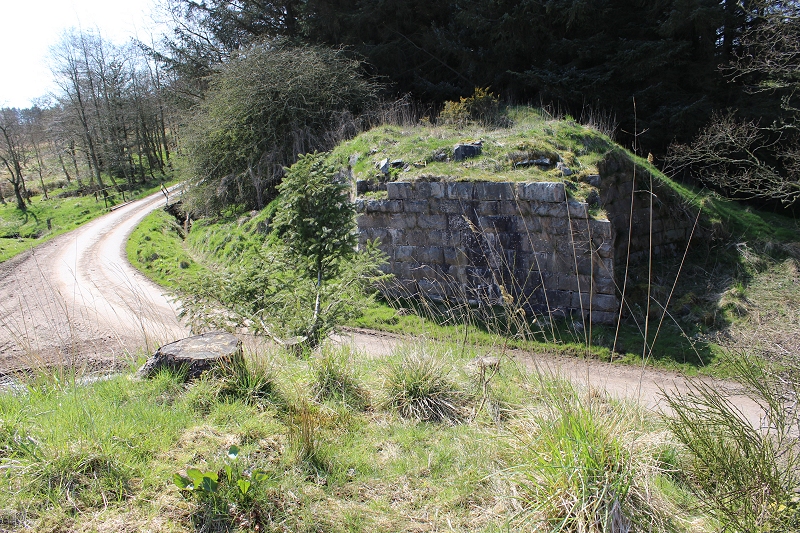
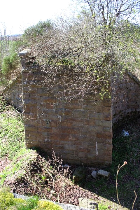
The
remains of the top of the over bridge at Tassatshill. On the
right is where the 'C' road from Pitlurg meets the Auchmacoy road.
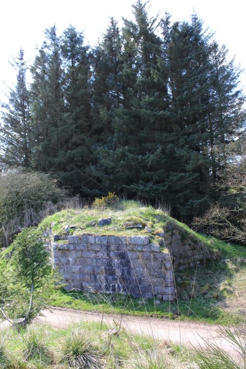
South side abutment.
Left:
Only the south side abutment of the bridge
remains. Right:
The north side is very eroded.
The
abutments where the bridge crossed the Tassatshill road by the
junction with the Pitlurg road (to the right).
A
burn running under the Auchmacoy Road, to join the Forvie Burn to
the south at a weir. It also ran below the railway.
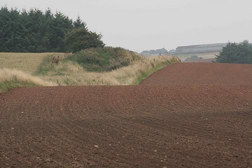
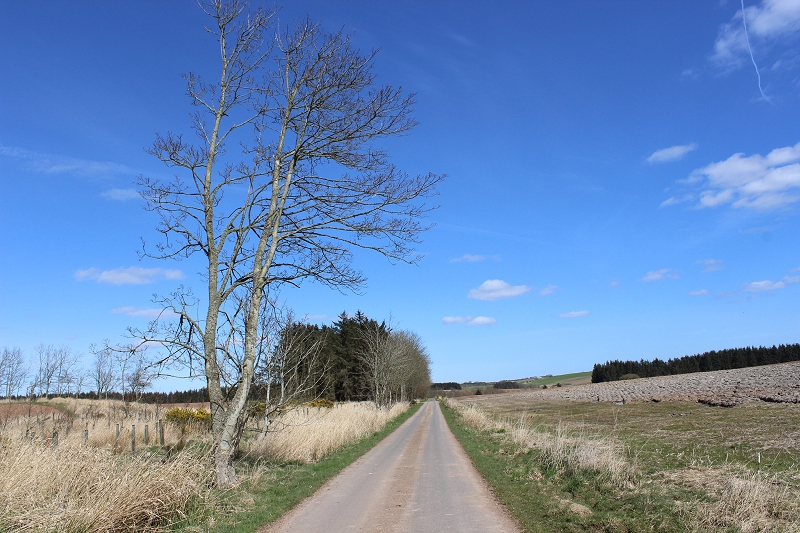
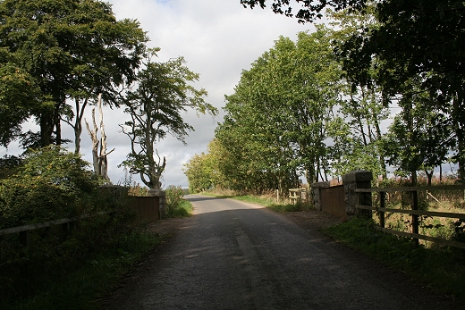
The
road from Tassatshill to Auchmacoy. Track bed is within the
woods on the right.
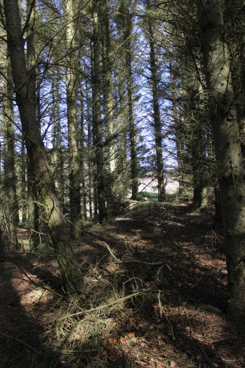
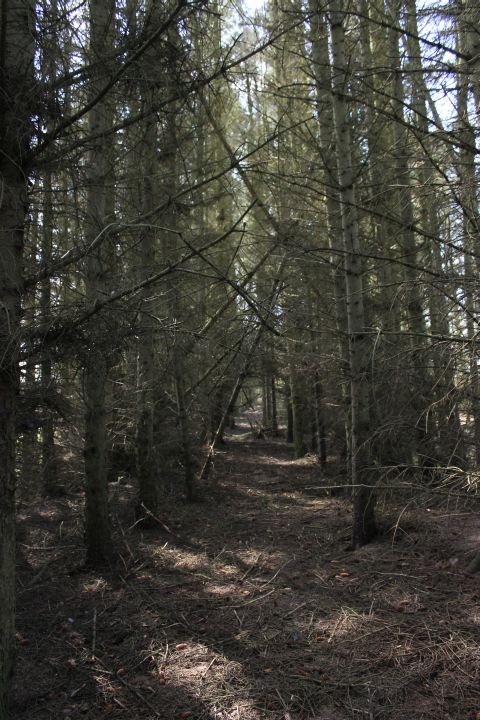
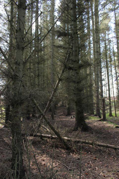
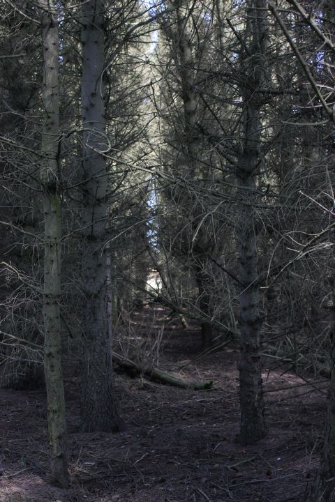
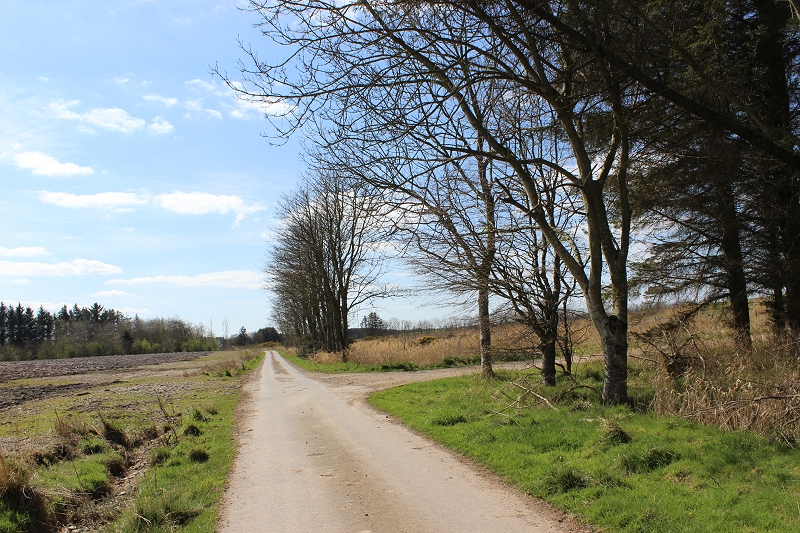
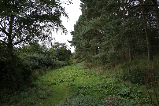
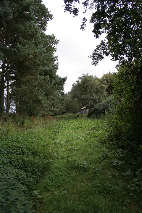
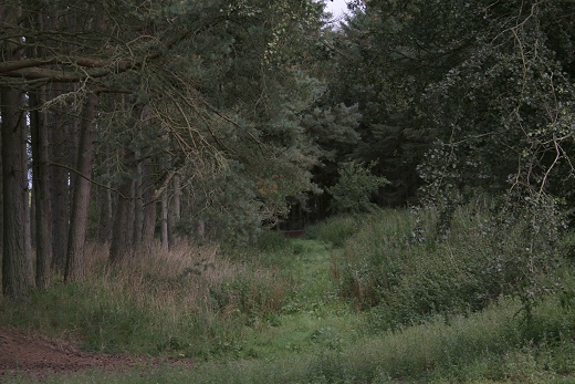
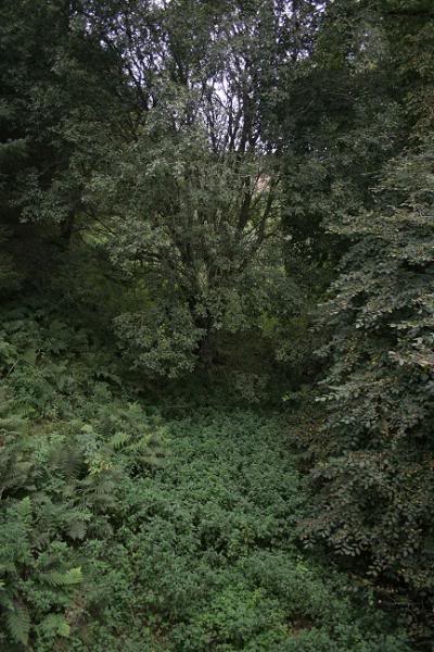
From Tassatshill the track bed continues within
the forest of trees and is difficult to navigate. However due to the
very dry spell and a very bright Spring day the way was a bit clearer
and brighter so took a chance and carried on. It was a bit of a
scramble at times but passable and every now and then there was enough
space to see that it was a track bed. Here is a
selection of some of the photos. I did come to a block at one point
and got back onto the road for a few yards then managed to get back
into the wood again to just short of the
Dobshill road junction where there had been a footbridge over the
railway.
Left:
From were I got into the wooded section, looking back to where the
Tattershill over bridge had been.
Right: looking ahead towards Auchmacoy. The continuing photos are
taken looking in one direction or the other.
Towards
Dobshill Road.
I
came upon a well blocked way and had to get back onto the road for
some years before getting back
into the wooded section and up to here the Dobshill road and over
overbridge site.
Left:
Towards the Dobshill Road.
Left:
a clearer path for a short way towards Auchmacoy. Right: The way is
blocked with a bit of a scramble to get back out onto the Dobshill
Road.
Towards
Auchmacoy with the junction of the road to Dobshill to the right. This
is where the footbridge stood across the railway.
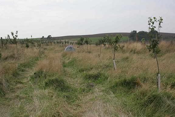
The track bed onto Auchmacoy is fenced off from here due to new tree
planting and is blocked by a forest of trees at the north end of the
station..
Sept. 2008 photos
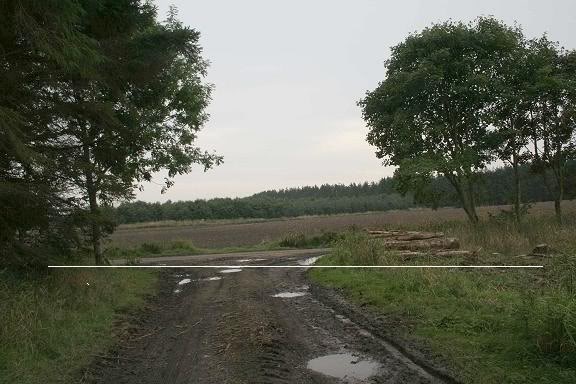
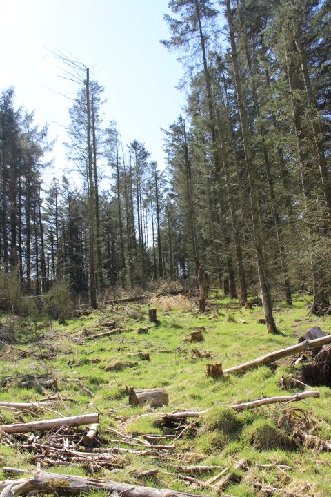
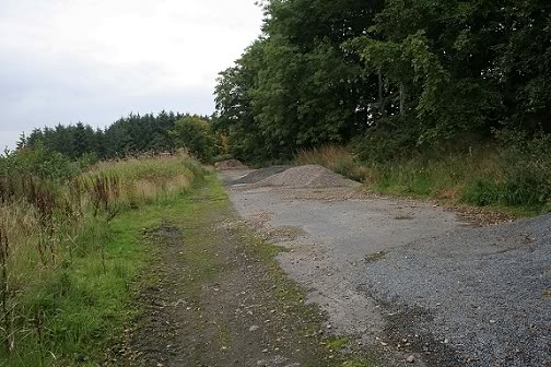
This is a forestry clearing half way along the
Tassatshill road and where the foot bridge stood. This side road is
shown as running through to the main road at Birness, past the hamlet of
Dobshill. Left: I have drawn a line
through the scene to show where the track bed
was. Right: From
the same spot looking towards Achmacoy the trees are being heavily
cleared making
the track bed open to the air once again. I wasn't sure why this length
was being cleared but from my September 2015 walk found that it was to
replant new trees.
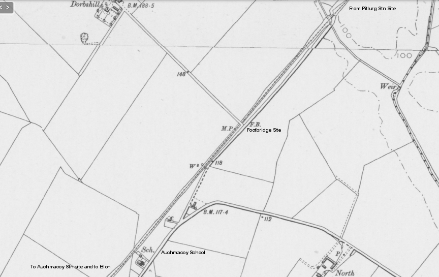
This map indicates that there was a
footbridge at his spot and not a level crossing. The present road
must have been made a through road
after the railway closed and the road only came in from Dorbshill.
Artrochie school is closed but is used occasionally as a
meeting hall.
(NSL Railway Maps).
April 2015 photos
Left: From Dobshill Road
Jctn towards
Auchmacoy.
Right: Ditto. Towards end of forested track bed from the
Tassatshill Road.
Looking back towards the Ex Over bridge at
Tassatshill road junction with the track bed on the left..
Heading towards the now
closed Artrochie School by Auchmacoy.
Old railway fence posts
at short open area where you could get to the track bed.
At a curve in the road
an access path goes to the right and over what had been
a farm crossing.
From the farm crossing site.
Left: Looking back towards
Tassatshill.
Right: Towards the tree blockage at the north end of Auchmacoy
station site.
Just
up ahead is where the 'facing' Goods Yard points would have turned
off the main line.
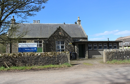
Left: Artrochie Community
Education
Center.
Right: Ex School toilets & water tower
The track bed runs behind the old school. This is private
property.
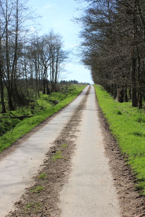
Tassatshll to Auchmacoy Road on
the last stretch before reaching the station site. The track bed
is in the woods o the right.
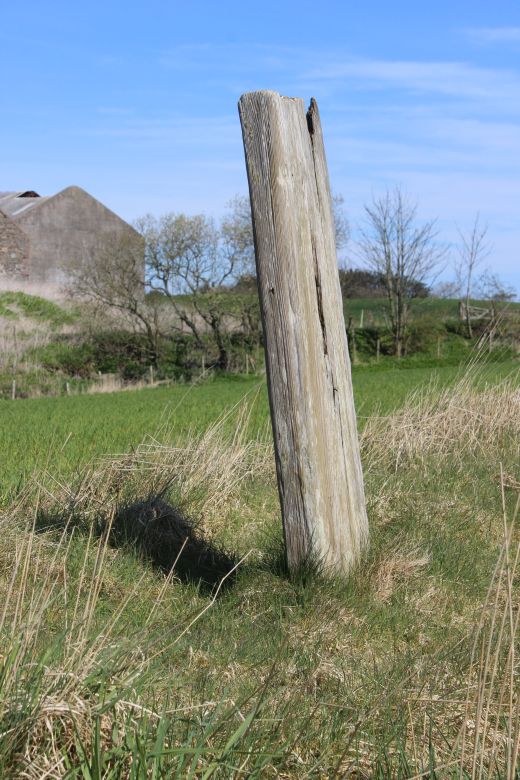
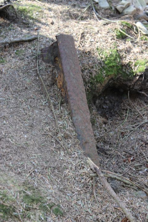
 8025AuchmacoyTensionPost20thApril2015.jpg
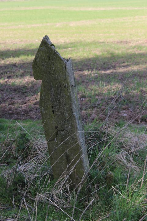
A
wire tentioning and wooden fence post as seen from the road and each
side of the track bed.
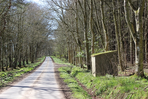
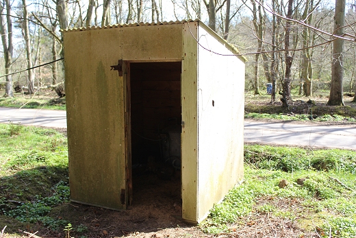
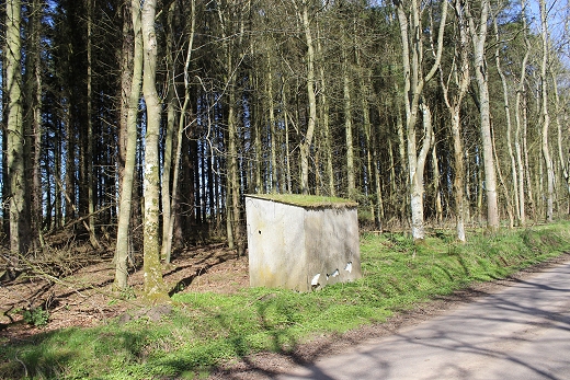
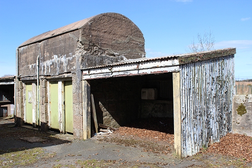
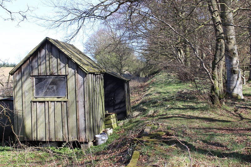
I
wondered if this old shed had been part of the railway but thought
that it may be set too far back from the
station site. However, having now covered the site and found that the
Goods Shed line and Goods siding
were just a few yards inside the wooded area this may well have been a
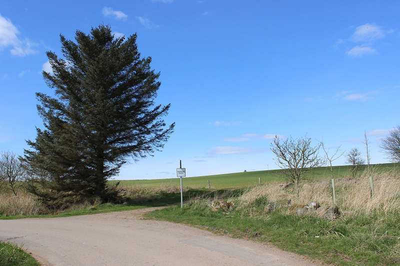
railway hut.
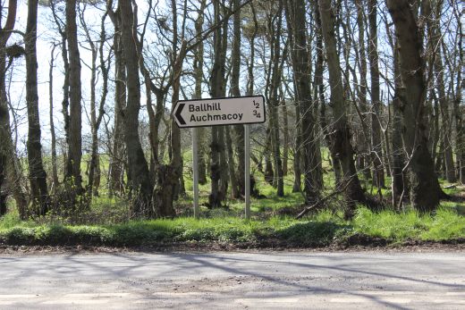
End
of the Pitlurg road at the junction for Auchmacoy. The village is to
the left, while the station site is to the right.
As you get closer to Achmacoy it becomes very wooded and
closed in. But again is very pleasant countryside. Achmacoy station is
(as is usual) a good three quarters of a mile from
the village, tucked in off the roadside to the point that you would
never know it was there if you hadn't been looking for it.
As you walk towards the station you come across the
Station House. I always ask permission to look around such places and
as it was, the lady of the house was just turning her car
out of the drive. I explained the situation. She was just setting off
to attend a meeting but kindly allowed me to look around. It always
pays to ask.
There isn't much to see as there are no platforms or
buildings apart from the house but the station area is still quite
open and you can make out the space where the tracks and platforms
were. To the north all ends in a heavily wooded area, as it does
to the south, but before that you can walk along the station track bed
up to the road bridge. Beyond the bridge, towards
Ellon, it is too wooded and overgrown to walk through, which is just
as well as just beyond that again the railway went over a high road
bridge, which has been demolished. Likewise this
is the end of the track bed for most of the way into Ellon as so much
has been demolished or ploughed flat. From the demolished railway
bridge the trackbed went over the main road and
dropped down the other side as it leveled out for the final couple of
miles into Ellon. All there is to see is the high bank of the railway
and it's sudden decline on the other side of the main
road.
I'm not sure what the name 'Achmacoy' means but with my
little knowledge of Gaidhlig, Auchaidh = a field, Ma = Of The and my
guess is that 'Coy' could either be from 'Cu' = Dog/Dogs,
or it could be an abbreviation of Bo = Cattle.
On my 2008 visit I didn't bother having another look
around the station as there would have been little more to see from my
previous visit and it was much too wet to walk through that
overgrown area.
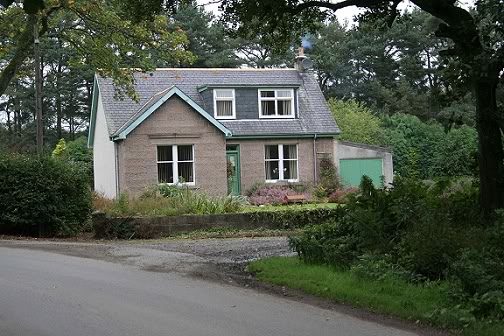
Left: The station
entrance from the Achmacoy-Ellon road, with the station house. The
station was at the right, behind of the house.
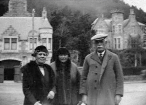
Right: Linesman William Cameron Lippe (c. 1920's Auchmacoy). The two
ladies are believed to be his second wife and a dughter.
With thanks to Mrs. Sheila Gordon, great, great grandaughter to Mrs.
Lippe, Jane Wallace.
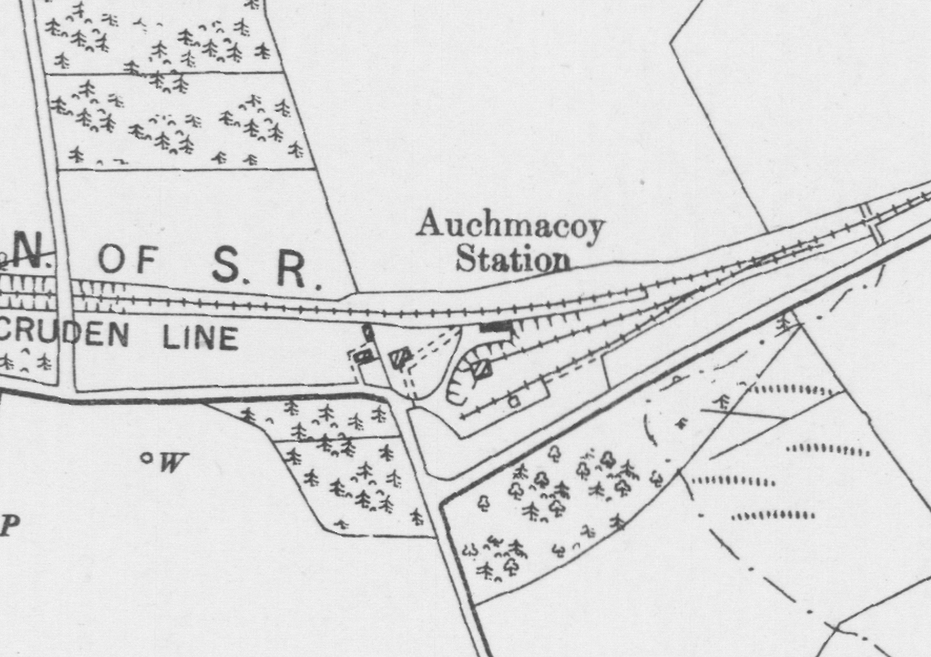
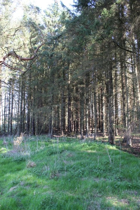
There
was only one platform with no signals but two goods sidings which
also had a short head shunt. This siding will have been operated by
a ground frame with a key attached
to the single line token and used by he guard during any shunting.
One side of the Goods Siding's stop block is still in place.
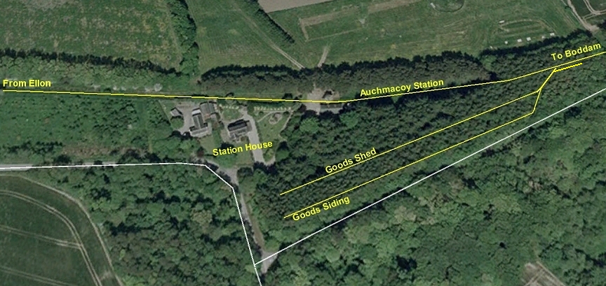
Screen
grab from Google. Auchmacoy
Station. Layout (Google Earth)
Here
you can see where the platform lay and also the two lines into the Goods
siding, which had a head
shunt
at the north end by the main track. (NSL RailwayMaps)
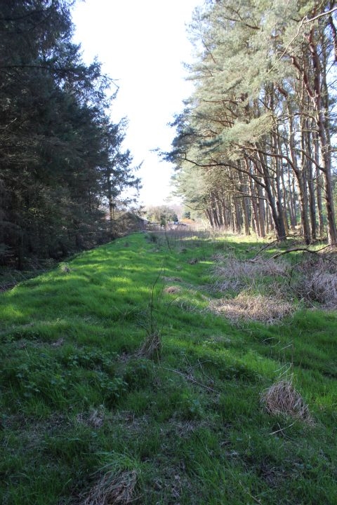
From the entrance to Achmacoy station you walk
immediately across the north end
of the station layout.The remains of the platform is seen by the
grassy mound onthe
right of centre. The track bed becomes impassable as it ends in a
heavily wooded area.
This islooking towards Boddam..
I
am standing on the north end of the station track bed. As this road
crosses the railway into a farm, perhaps there was a level crossing at
this point! The large shed is built on the station concourse.
Right: Looking towards Ellon from the southern tip of
the station platform.
April
2015 Photos
AUCHMACOY GOODS YARD REMAINS
The
Goods Yard lay on the east side of the station layout. Leading
of the north end of the main line and running southwards to the
road end of the site. There were two sidings, the nearest
to the station was the Goods line ending at the Goods
Depot and the Goods Siding ending a a stop block near the
Pitlurg road junction. The Goods siding ran in a shallow
cutting. At the
north end by the main line points there was a head shunt running
northwards along side for Goods yrd shunting. As there were no
signals involved the points would have been operated by
the guard, using a key attached to the single-line token.
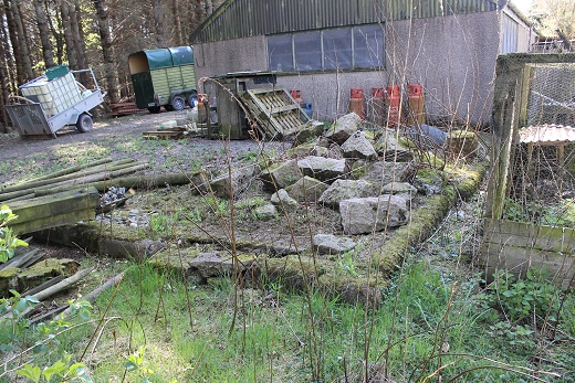
The
low cutting where the goods siding line ran up to the stop block.
More
stones lying close to the Goods Siding stop block.
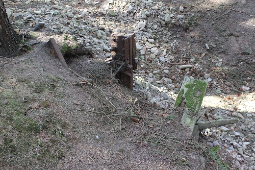
Left:
Stop block
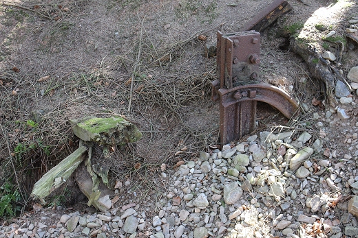
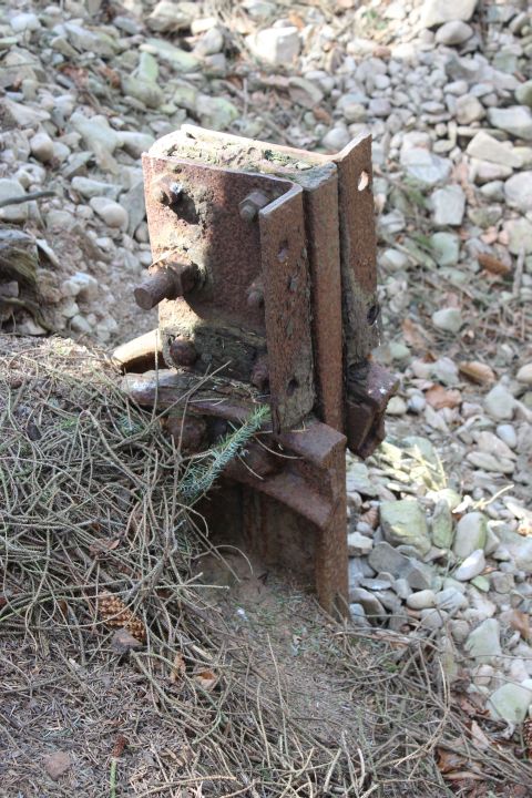
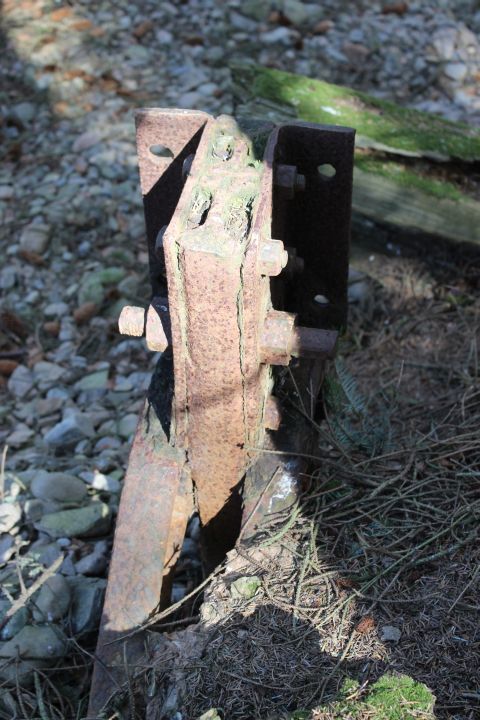
remains.
Right: A piece of rail embedded into the bank by the old stop block.
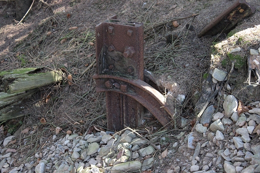
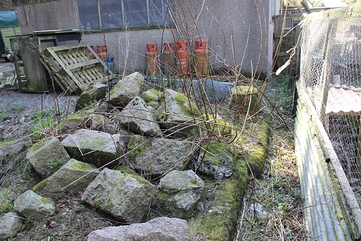
On
my April 2015 visit I was interested to see what the metal remains
were that the Game keepr told me of and found that it is one half of
what was the Goods Siding stop block.
It is of an interesting build as it is made from mostly pieces of rai,
nicely curved to form the brace that fitted to the end of the Goods
line rails.
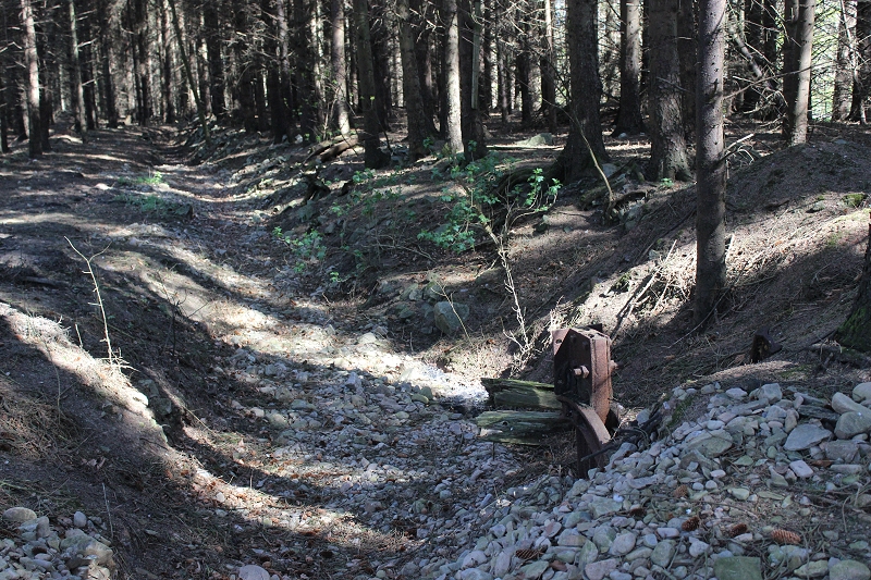
A
wide angle view showing how the Goods Line ran up to the stop blocks.
This
wide view shows the shallow cutting that the Goods siding track ran
in, to the right. The Goods Shed would have been immediately in front
of the camera.
Sadly there is nothing left to indicate either the shed or the track.
The station was on the far left and the two siding tracks joined the
main running line way up
ahead, where there was also a had shunt for the sidings.
=====================================================================
AUCHMACOY STATION
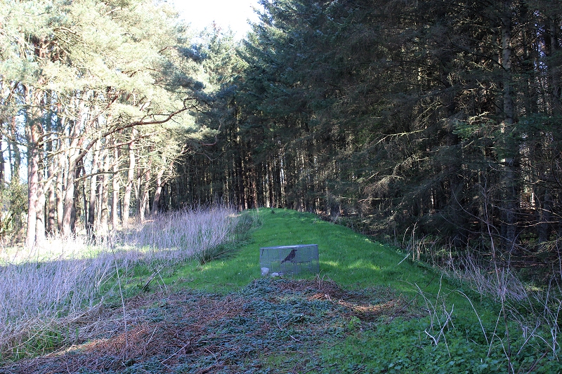
I
didn't ask what the caged bird was all about. This is the station
platform remains. The Goods lines will have been seen within the trees
to the right.
Left:
North end of the station as it runs into the
woods.
Right: From the same spot looking along the platform remains towards
Ellon.
Left:
Unusual ground formation by the north end of the station
platform
Right: Looking northwards along the platform remains.
Remains
of a stone base which is possibly part of the station
buildings. There were toilets at both ends of the building and this
may have been the north end one.
In the left hand photo the Horse Box and trailer as standing on what
was the station forecourt with the Goods sidings behind that.
From
this cropped section from the photo top right, you can see the
remains of what must have been a drain pipe
on the building guttering.
From
the north end of the platform looking back towards Ellon.
====================================================================
AUCHMACOY STN SITE TO ELLON
Sept. 2008 Photos.
Looking back towards Boddam this
was the actual station site. There was platforms on each side and the
usual station buildings and, somewhere, a signal box. I have never seen
a photo of
Achmacoy station therefore can't even imagine what it looked like.
At
the western end of the station you come up to a road bridge. This 'C'
road connects the 'C' road from Auchmacoy to Ellon to the main A90
Ellon to Boddam road. As the road is still in use the bridge is well
maintained.
Most the bridges on the line were of identical design and it's nice to
see this one in such good
condition.
Right: Half way between the road bridge and station. The building on the
right was used by railway staff.
The 'c' road between Auchmacoy
and the A90 main Ellon Road.
Sept.
2008 view of the bridge by the road junction from Acmacoy to
Ellon.
Right: Looking towards the station and Boddam, from the road bridge.
 073
073
The
building on the right could almost be part of the railway but is quite
modern. But you can almost visualise the platforms that were here.
It must have been a very attractive with the station and
lines in place. Right: The
road bridge. This side road links the village road to the A90 half a
mile or so ahead.
Left: Sept.
2008 View, including the bridge
span.
Right:
The opposite view, towards Ellon. Into the darkness, that was once the
railway permanant way.
Left: The south side of the
road bridge towards
Boddam.
Right: Looking into the cutting running towards Ellon.

Left: The cutting towards Ellon is over
grown for a few yards.
Right: The southern side of the bridge in Sept 2008.
April
2015 Photos
The
south side of the over bridge looking towards the station site.
Left:
The track bed running towards Ellon, from the Road
bridge.
Right: Further along towards the next Ex over bridge.
Remains
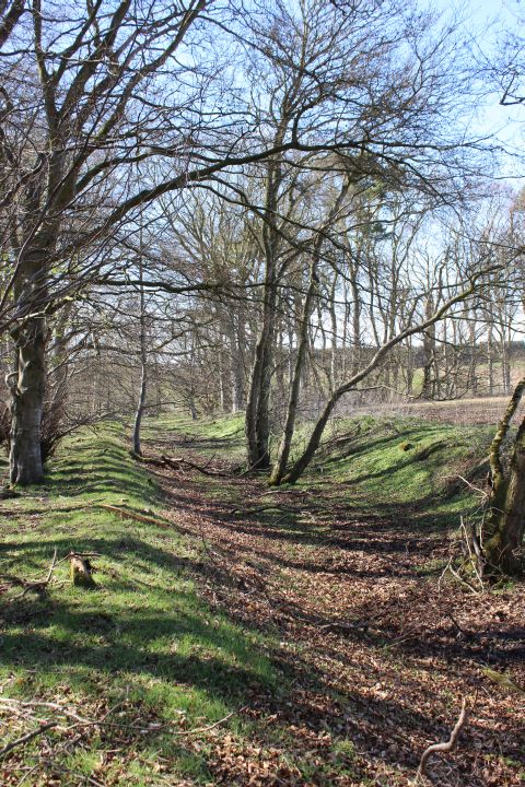
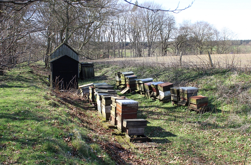
of an old nest of Beehives set on the track bed. Towards Ellon.
The
hives and sheds don't appear to be in use. Towards Auchmacoy.
Left:
Half way from the road over bridge on the south side of Auchmacoy
station site Right: From the same position
looking towards the demolished road bridge and Ellon.
I
found it interesting that I was looking down from where I saw the
workmen from the bus on the way to Boddam, which was 65
years ago.
The Ex over bridge looking towards Ellon.
The
gap from the south side of the north side embankment.
The
old road has since been blocked, to stop unothorised parking and
rubbish dumping.
Sept.
2008 Photos
The
demolished railway bridge to the west of Achmacoy. This was the old
main road to/from Boddam.I have had a memory from around 1949/50 of
being on the top deck of the bus going to Boddam
with my mother. As we approached a low bridge I could see wagons and
men working on the railway above. This would have been when the line
was being picked up. However, until now I could
not visualise a bridge anywhere I walked over the line that
fitted this description but on seeing this bridge it just had to be
the spot. Right: The road has been abandoned beyond the bridge
due to
the new road, which is just out of sight in the distance but you
can hear the traffic roar from here.
The old railway bridge from the western side
of the old main
road.
Right: The northern parapet of the railway bridge
The southern parapet of the
railway bridge with the embankment runing towards Ellon.The track bed
seems to have sunk a fair bit.
Right: Just before the new main road the railway was on an embankment.
The two trees are standing in the 'four-foot'
Beyond
the demolished bridge the railway crossed the main road. I waited for a
vehicle to pass at the point where the bridge would have been.
This helps to imagine how the line crossed at this spot,from the
embankment on the right and going off following the treeline then
curving to
the left towards Ellon. This view is taken from the
new road just beyond the junction with the Achmacoy road.After
crossing the new road
the track
bed curves on it's way towards Ellon, passing under road bridges on
the Crawhead and Balmacassie.
This was the final photo
from my Sept. 2007 walks over the line. However, I have now
completed these walks after three visits in September
2008. Many photographs have been added and three new sections created,
which have all be linked on the Index page.
This
walk continues on the "Achmacoy to Ellon" link.
================================================================
AUCHMACOY TO BALMACASSIE
Back To Index Back to Home Page
This
page brought to you by:
VintageHammond.Com - We Buy-Sell-Trade Vintage Hammond
Organs and Roll or Kari Organ/Vending Machine Moving Dollies Order Roll or Kari Dollies Here